from 0 review
Daily Tour
Unlimited
English
The trek is generally open from April to mid June and mid September to mid November but April is the best month for trekking on this route.
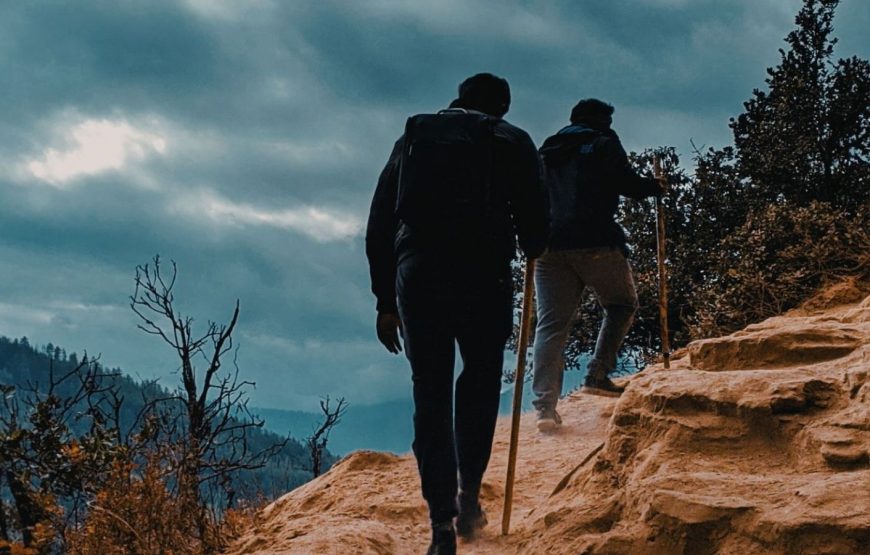
This trek offers interesting trekking conditions from picturesque farmland and forests to alpine pastureland and high passes. Spectacular campsites, beneath some of Bhutan’s most impressive peaks are also the features of this trekking route. Various isolated places of cultural interest fen route further enhance its characteristics.
Druk Airways flight to Bhutan is one of the most spectacular in entire Himalayas. Whether flying along the Himalayan range from Kathmandu or over the foothills from Kolkata, each flight is a mesmerizing aeronautical feat and offers an exciting descent into the Kingdom. On arrival at Paro airport, immigration and custom formalities then received by our representative and transfer to the hotel. In the evening take a stroll around town's main street.
Overnight halt at the hotel in Paro.
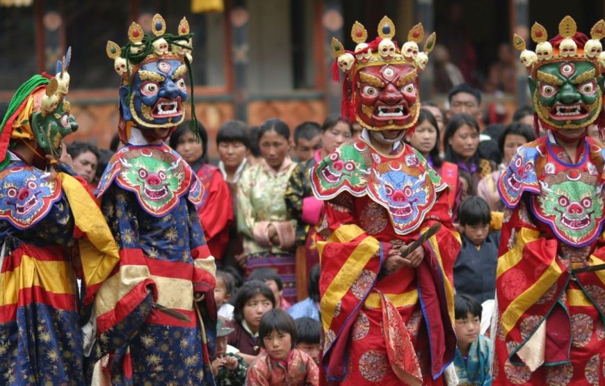
Morning visit to Ta Dzong, built in 17th century, as watch tower to defend Paro Dzong and valley. This fortress was later converted into the National Museum in 1968 and is filled with antique thangkha paintings, textiles, weapons and Bhutan's renowned postage stamps. Below the Ta Dzong, is fascinating Rinpung Dzong meaning 'fortress of the heap of jewels'. In the afternoon see, Kyichu Lhakhang, one of the oldest and most sacred shrines of Bhutan.
Overnight halt at the hotel in Paro.
The trek starts from Drukgyel Dzong at 2,580m with a short downhill walk on a wide trail. The trail climbs gently traversing through well maintained rice terraces and fields of millet. The route later enters an area of apple orchards and forests. Soon the valley widens and you reach the army post of Gunyitsawa at 2,810m. This is the last stop before Tibet. At 2,87m, just beyond Sharma Zampa, there are several good camping places in meadows surrounded by trees.
The trail again follows Pa Chhu (Paro river), ascending and descending through pine, oak and spruce forests. Hot lunch will be served after crossing the bridge towards the left side of the river. After lunch, follow the river climbing up through rhododendron forests and finally crossing the bridge again, reaching to the campsite at the altitude of 3,750m.
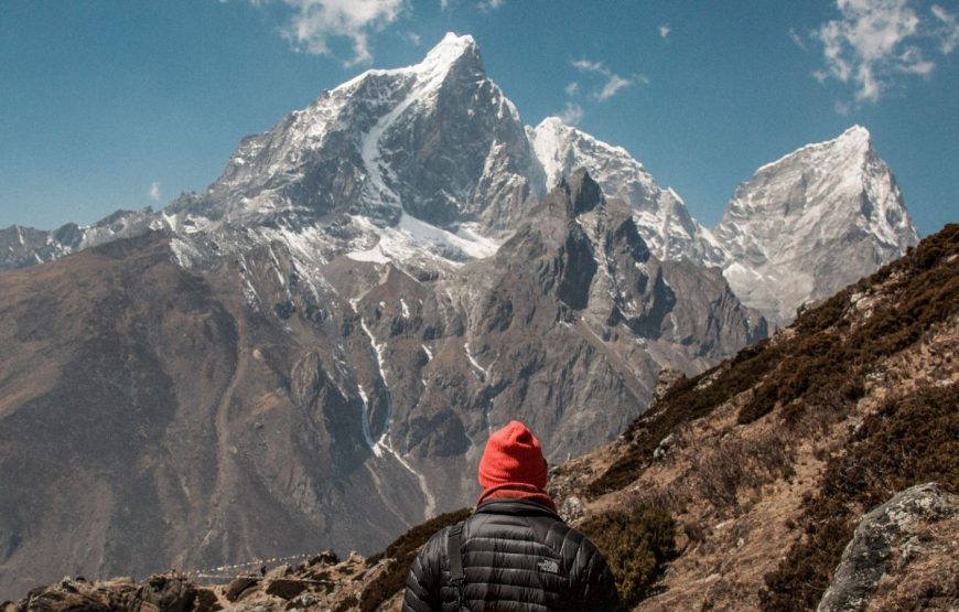
The path ascends for a while till you reach the army camp. Then follow the river above the tree line enjoying the stunning view of the surrounding peaks. Hot lunch will be served inside a yak herder's camp. A short walk into the valley will take you to the camp at Jangothang at an altitude of 4,040m. From here, the view of Mount. Chomolhari and Jichu Drake is superb.
The trail follows the stream for half an hour and crosses the bridge to the right side. Start the ascent up to the first ridge with a breathtaking view of Mount. Chomolhari, Jichu Drake and Tsrim Khang. Then walk towards the valley, almost flat for a while, until the climb to the Nyele la pass at an altitude of 4,700m. After the pass, it's a gradual descent to the Lingshi camp, enjoying the panoramic view of the peaks and Lingshi Dzong. Campsite at altitude of 4,000m.
Proceed further passing Lhuntshi Dzong, perched on hilltop with a commanding view of green hills, the winding roads and magnificent peaks. The actual name of Lhuntshi Dzong is Yugyel Dzong. Built in 17th century it played a role in controlling travel over Lhuntshi La (pass) between Tibet and Bhutan. Today's walk is easy and pleasant through villages and yak herders camp. Camp by the side of a stream at 3,860m.
The day begins with stiff climb to Gomby La (4,450m) then it is a long descent to a stream at 4,170m. Later the trail again climbs over a small ridge through a cedar forest. It is a long climb over the ridge, then the trail descends on a muddy path into main Jholethang valley in a deep forest of fir and birch. Afternoon, the trail traverses high above the valley floor on stream right to Chachim, a yak pasture at 4,260m. The camp at 4,250m is in a cluster of brush beside a stream at the bottom of the valley.
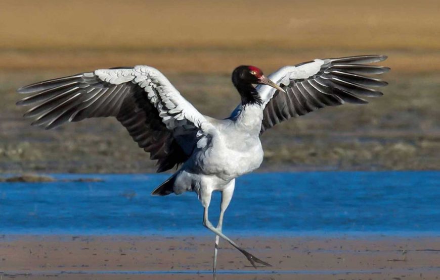
The trek begins with a climb to Jari La pass at altitude 4,700m then descents to Tasharijathang valley, the summer residence of rare Himalayan Takin (Bhutan's National animal). Later after crossing the stream, the trail ascends till you reach Robluthang camp at altitude of 4,200m.
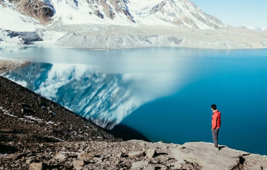
This day is long as well as tough crossing Shinjela (4,900m), the last and highest pass en route. You may be able to spot Blue Sheep high on the slopes. From Shinjela, the descent is on a rough, rocky trail that follows moraine into another glacial valley. The last part of the trek is very interesting with fascinating view of Mt. Gangchey Ta. Campsite in a meadow at 4,140m.
The walk to Laya is very pleasant with wonderful views. You will pass through a damp forest, filled with moss and singing birds. Arrive at Laya village, the second highest settlement in the country at an altitude of 3,800m.
Descend to army camp and join the Mo Chhu river. Follow the river till you cross the bridge. After the bridge it is up and down several times through juniper and fir forest until you reach the camp at Chamsa at an altitude of 3,500m.
Walk for about half an hour over flat land till the Bari La (3,900m). There is a small rock cairn and a few prayer flags at the pass. The route starts down again, sometimes steeply, through a bamboo forest to a stream. Later it is downhill all the way to Gasa Tsachu. Afternoon visit Gasa village and Dzong built in 17th century. Then descend to Gasa Tsachu (hot spring) for camp at an altitude of 2,200m.
The path continues ascending and descending through heavily forested areas and wild orchids.
Overnight camp at altitude of 2,400m.
Continue following the Mo Chhu river through heavily forested area till you reach Tashithang at an altitude of 1,620m.
Picked up by our transport and transfer to the hotel in Punakha.
Morning visit to Punakha Dzong and Khamsum Yulley Namgyal Chorten. Then drive to Wangdue Phodrang visiting Dzong and local market.
Afternoon drive to Thimphu for overnight stay.
Full day of sightseeing in Thimphu, visit to Memorial Chorten, Trashichhodzong, National Library, Arts & Crafts School, Textile and Folk Heritage Museum, Handicrafts Emporium.
Evening drive to Paro for overnight stay.
After breakfast transfer to Paro International Airport for flight to onward destination.
